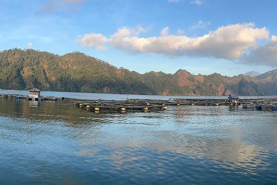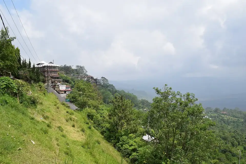
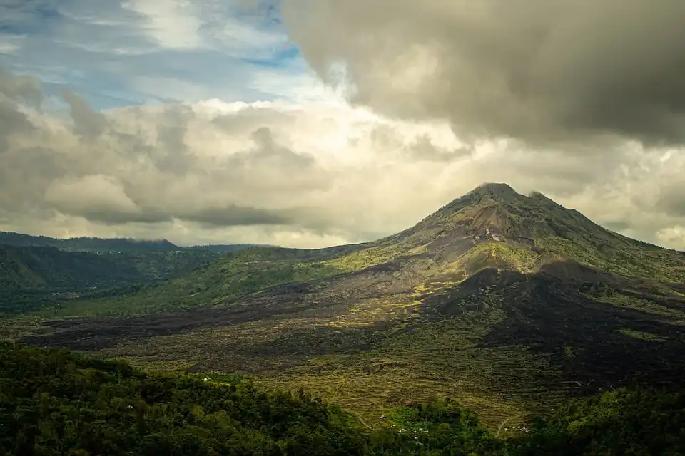
Mount Batur, Gunung Batur, is an active volcano in Kintamani district, Bangli regency, north-east Bali. Its summit is 1,717 metres above sea level, and the sunrise trek to the crater rim is the most popular climb on the island: the managers of the mountain counted 73,619 climbers in 2025, of whom 4,942 were foreign visitors. The volcano sits northwest of Mount Agung, at the centre of two concentric calderas, with Lake Batur filling the south-east side of the larger one.
A volcano inside two calderas
The outer caldera measures about 10 by 13 km and the inner one about 7.5 km across. Both formed when the magma chamber collapsed, the first about 29,300 years ago and the second about 20,150 years ago. The present mountain is made up of three cones, Batur I, II and III, each with its own crater.
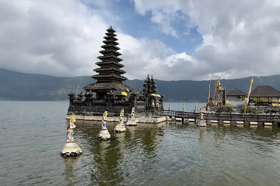
Batur’s first documented eruption was in 1804 and its most recent in 2000. Between 1804 and 2005 it erupted 26 times, and the most violent of those eruptions ran from 2 August to 21 September 1926. That eruption buried the old village of Batur and its temple at the foot of the mountain, which is why Pura Ulun Danu Batur now stands up on the rim. The broad black lava field from the 1963 eruption is still plain from Kintamani and from the Penelokan viewpoint. On 20 September 2012 UNESCO made the Batur caldera part of the Global Geoparks Network.
The sunrise trek
Most climbers start between 2am and 3am to be on top for sunrise, so pick-up from hotels in south Bali is between 1am and 2:30am. The usual climb starts from a base at about 1,300 metres and gains roughly 400 metres in 1.5 to 2 hours. There are three common starting points. From Toya Bungkah, by the lake, more than half the climb is through shady forest. From Pura Jati the route crosses old lava fields with no shade at all. The route via Pura Pasar Agung is described as the easiest, at 1 to 2 hours to the top.
The path is rock and volcanic sand. It is well trodden but treacherous in places and poorly signed, which is one reason guides are compulsory. Coming down is harder on the legs than going up, because the sand slides underfoot. Before dawn it is cold at the summit, so bring a warm layer even in the dry season.
From the top the sun rises over Mount Agung, with Mount Abang beside it, and on a clear morning you can see Mount Rinjani on Lombok. Steam still rises from vents near the crater, and guides often cook eggs in the heat. Mist can roll in fast, though: on 1 June 2025 climbers saw the sunrise only briefly before cloud covered the summit.
Guides, fees and closures
The mountain lies in the Gunung Batur Bukit Payang nature recreation park (TWA), 2,075 hectares managed by the Bali conservation agency, BKSDA. The agency’s entry fee is Rp 100,000 for each foreign visitor; Indonesian visitors pay Rp 10,000 or Rp 15,000. Every climber must also go with a licensed guide from the Association of Mount Batur Trekking Guides, whose office is in Toya Bungkah. Guide fees are set per guide or per group and are normally bundled into a package, and sunrise packages with hotel transfer start at about Rp 700,000 per person. Foreign visitors arriving by road also pay the separate Kintamani area levy of Rp 50,000.
The trekking area closes for Nyepi. In 2026 the BKSDA stopped all visits and climbs from 18 to 20 March and reopened at 9am on 21 March. Litter is a growing problem: the head of Kintamani sub-district asked climbers to carry down everything they bring up, and guides and local groups run regular clean-ups.
When to go and what to combine it with
The dry season from April to October brings the clearest skies and driest paths. Numbers peak with the holidays: in 2025 the busiest months were June, with 9,378 climbers, and August, with 8,886. Cloud often covers the mountain from mid-morning, which is why the climbs start before dawn.
Most people finish by late morning and drive down to the lake shore for a soak in the hot springs at Toya Bungkah. For more of the area, see our guide to Kintamani, the list of things to do in Kintamani, guided Kintamani tours and where to stay in Kintamani if you want to sleep near the trailhead.