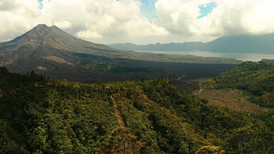
For a small island, Bali packs in a remarkable range of landscapes. A chain of volcanoes runs across its centre, cupping crater lakes and feeding rivers that carve down to the sea. Between the mountains and the coast, hillsides have been shaped over centuries into the terraced rice fields that are the island’s signature. Around its shores lie coral reefs among the richest anywhere, and inland there is jungle, gorge and waterfall.
All of it is bound together by water, and by the volcanoes that lay down the fertile soil. The Balinese have farmed and worshipped here for more than a thousand years, and their bond with the land shows most clearly in the irrigation that keeps the terraces green. Look closer at any part of the island and the same few forces recur: the volcanoes, the water they gather, the reefs offshore and the monsoon seasons that swing between wet and dry.
Volcanoes and crater lakes
Bali is part of the great volcanic arc that runs the length of Indonesia, where tectonic plates meet and the earth is restless. A line of volcanoes crosses the island from west to east. The highest and most revered is Mount Agung, rising to 3,031 metres in the east. The Balinese consider it the spiritual centre of the island, the home of the gods, and the great mother temple of Besakih stands on its slopes.
To the north-west, Mount Batur is lower but very much alive, sitting inside a vast caldera with a lake at its foot. The Kintamani area on the caldera rim gives the classic view down onto the cone and lake, and sunrise treks up Batur are a popular outing. Further west lie more crater lakes, Bratan, Buyan and Tamblingan, ringed by forest near Bedugul and Munduk. These highlands catch the heaviest rain and store the water the rest of the island depends on.
Rice terraces and the subak system
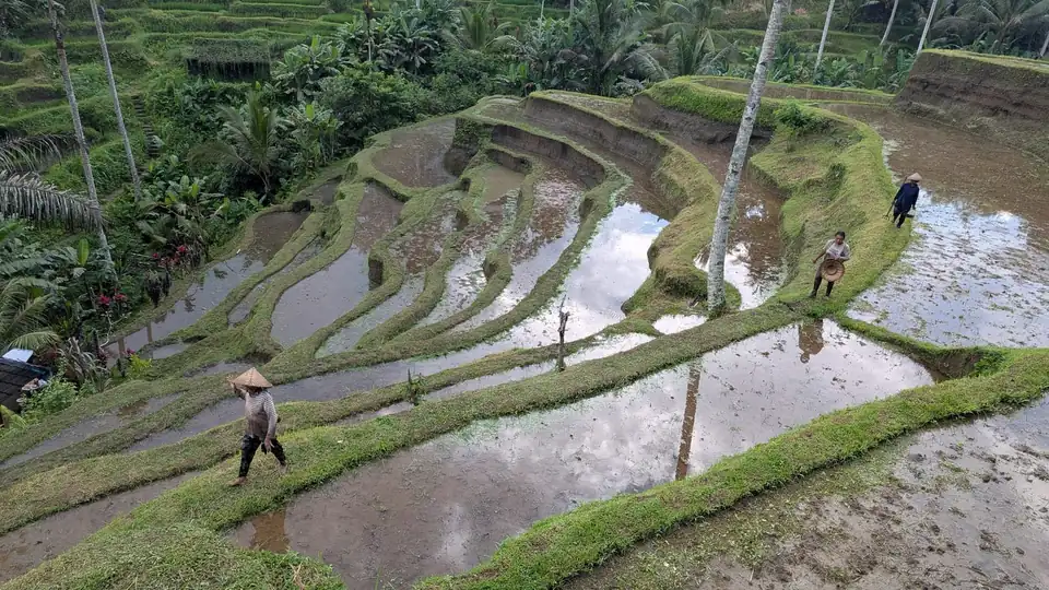
The terraced rice fields are perhaps the most photographed landscape in Bali, and they are also a working farm system with deep roots. Over centuries, farmers cut level steps into the hillsides and led water down through a network of channels, tunnels and small dams from the crater lakes and rivers above. The result is a landscape that is entirely shaped by human hands yet looks wholly natural.
What holds it together is the subak, a cooperative system through which the farmers share and manage the water. Each subak is tied to a water temple, and decisions about planting and irrigation are made collectively and blessed by ritual. This blend of farming, cooperation and religion has run for more than a thousand years, and in 2012 the cultural landscape of subak was added to the UNESCO World Heritage List. It is a living example of how the Balinese see the land, water and the divine as one system.
Reefs, coast and the Coral Triangle
Bali sits inside the Coral Triangle, the stretch of ocean around Indonesia, the Philippines and their neighbours that holds the greatest variety of marine life on the planet. Its reefs support a dense mix of hard and soft corals, reef fish, turtles and, at certain times, larger visitors such as manta rays and the strange sunfish. The east coast around Amed and Tulamben and the waters off the Nusa Islands are the best-known diving and snorkelling grounds.
The coasts themselves vary with the volcanoes. In the east and north, near the volcanic centre, beaches often have black or grey sand ground from volcanic rock. In the south and on the Bukit Peninsula, the sand is paler and golden, backed in places by limestone cliffs. The southern coast faces the open Indian Ocean and its swell, which is why it draws surfers, while the east and north face calmer water better suited to swimming and diving.
Jungle, waterfalls and wildlife
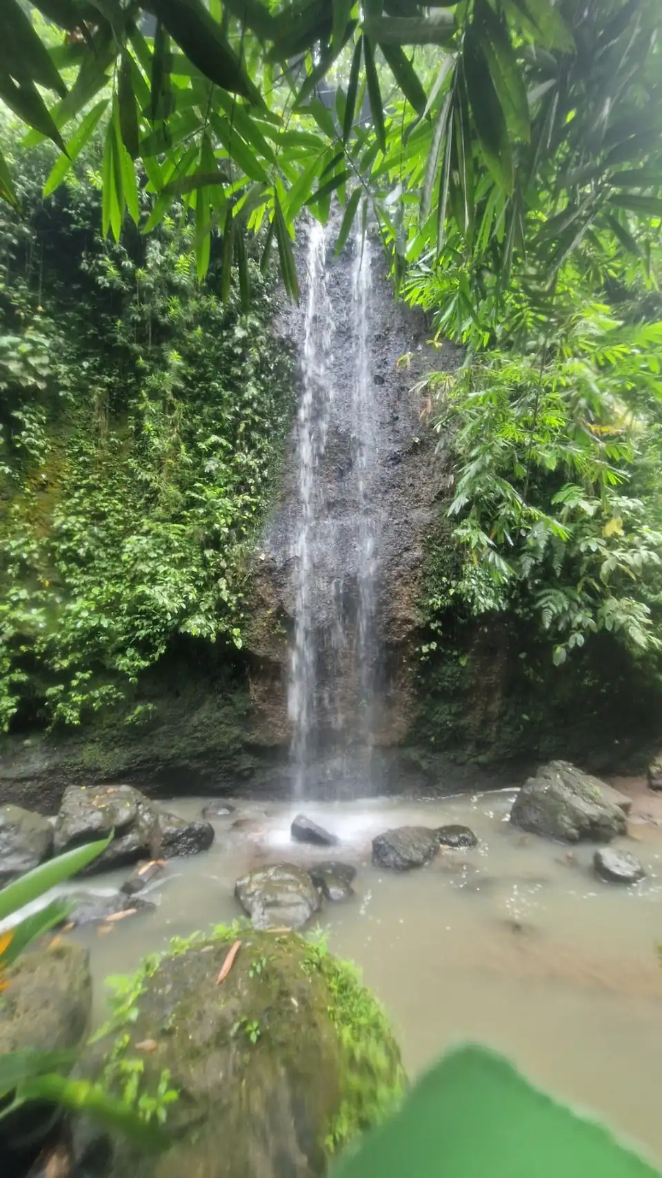
Between the volcanoes and the terraces lies forest, thickest and wettest in the highlands. Rivers cut deep gorges through it and tumble over waterfalls, many of them around Munduk and north of Ubud. These are fullest towards the end of the wet season, when the rivers run high, and the paths down to them are often steep and slippery.
Bali’s most visible wildlife is the macaque monkey, which gathers in troops at forest temples such as the Ubud Monkey Forest and the clifftop temple at Uluwatu. The island is also rich in birds and, in the far west, protects the rare Bali starling. Large wild mammals are few, so for most visitors the memorable encounters are with the monkeys on land or the reef life underwater.