
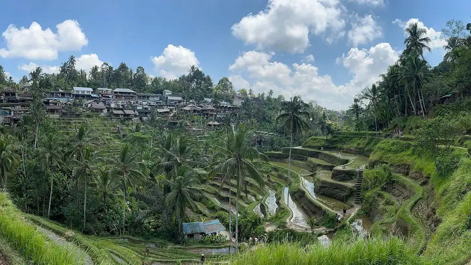
Bali is both an island and a province of Indonesia, set in the tropics of Southeast Asia about 8 degrees south of the equator. It sits at the western end of a long chain called the Lesser Sunda Islands, which trail eastwards from Java towards Timor. Only a narrow strait separates it from Java, the most populous island of Indonesia, while a deeper one to the east divides it from Lombok. The Indian Ocean rolls in from the south; the calmer Bali Sea lies to the north.
For all that it feels different, Bali is not a country. It is one province among Indonesia’s 38, with its capital at Denpasar in the south and its own international airport, Ngurah Rai. What marks it out from its neighbours is its people and their Hindu faith, which shaped the temples, festivals and terraced landscapes travellers come to see. Grasp where the island sits, in the world and within Indonesia, and much of the practical side of a trip there falls into place.
A province and an island
When people say “Bali” they usually mean the main island, but the official meaning is the province of Bali, which also takes in three small offshore islands to the south-east. The province is one of the smaller units of Indonesia by area, yet it is one of the best known internationally because of tourism. Its administration runs from Denpasar, and it is divided into eight regencies and one city, each covering a slice of the island from coast to mountains.
Bali is often taken for part of Thailand, which it is not. If you are choosing between the two, our Bali vs Thailand guide sets their rainy seasons side by side.
The island itself is compact. It measures roughly 145 km from west to east and about 80 km from north to south, so no point is very far from another in a straight line. Road conditions and traffic, rather than raw distance, are what shape a journey. A spine of volcanoes runs across the middle and north, and rivers cut down from these highlands to the coast, carving the ridges and valleys on which the famous rice terraces are built.
East of Java, in the Lesser Sunda chain
Bali marks the point where the Greater Sunda Islands give way to the Lesser Sunda Islands. Java, to the west, is part of the larger group; Bali, Lombok, Sumbawa, Flores and the islands stretching towards Timor form the smaller, drier chain to the east. The Bali Strait that divides Bali from Java is only about 2.5 km wide at its narrowest, and a ferry crosses it constantly between Gilimanuk and Ketapang.
This position has a deeper significance for naturalists. The Lombok Strait, just east of Bali, follows the line that the naturalist Alfred Russel Wallace identified as the boundary between Asian and Australasian wildlife, now called the Wallace Line. Bali sits on the Asian side of that divide, which is why its forests and animals feel more like those of mainland Asia than those of Australia, even though Australia is not far to the south-east.
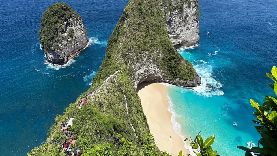

The lie of the land, north to south
The island tilts from a volcanic centre down to the sea on every side, and this shapes where people live and where visitors stay. Across the middle and towards the north rise the great volcanoes, Mount Agung and Mount Batur among them, with crater lakes cupped in the highlands. Rain falls heaviest on these slopes, feeding the rivers and the irrigation channels that make the rice terraces possible.
The south is where most visitors spend their time. The airport, Denpasar and the best-known beach areas all sit on the wider southern lowlands and the Bukit Peninsula, the limestone headland that hangs below the rest of the island. Ubud lies inland in the cultural heartland, a little higher and cooler. The north coast, reached over the mountains, is quieter, and the east around Amed is drier and more remote. Our page on reading a map of Bali sets out these regions in more detail.
Getting your bearings on arrival
Because almost everyone arrives at Ngurah Rai airport in the south, your first sense of Bali is of the busy southern lowlands. The resorts of Kuta, Seminyak and Jimbaran are within a short drive, while Ubud is roughly 90 minutes inland and Uluwatu sits on the peninsula to the south. The Nusa Islands are reached not from the airport but from the beach town of Sanur, where fast boats leave through the morning.
One small tropical island, close to Java and 8 degrees off the equator: that single fact explains a great deal about a trip here. Heat and humidity hold steady all year, the sun sets early and fast so near the equator, and the sea shapes life on every coast. For the practical side of arriving, our guides on getting to Bali and the best time to visit carry the story forward.